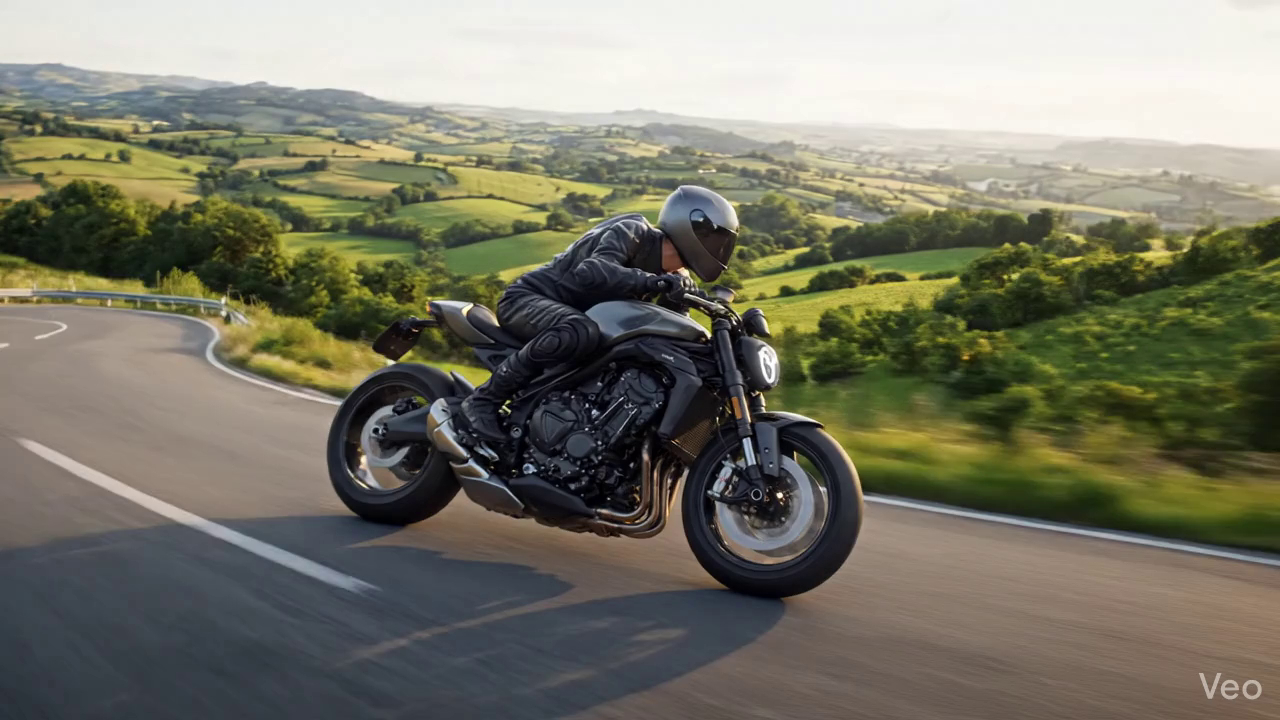
REDLINE PERFORMANCE
RIDEBEYONDLIMITS
THE FIRST NAVIGATION SYSTEM BUILT EXCLUSIVELY FOR RIDERS. NO CARS. NO COMPROMISES.
500K+
ROUTES PLANNED
98%
ACCURACY
50K+
ACTIVE RIDERS
24/7
ROADSIDE
THE FIRST NAVIGATION SYSTEM BUILT EXCLUSIVELY FOR RIDERS. NO CARS. NO COMPROMISES.
Real-time navigation with local weather conditions
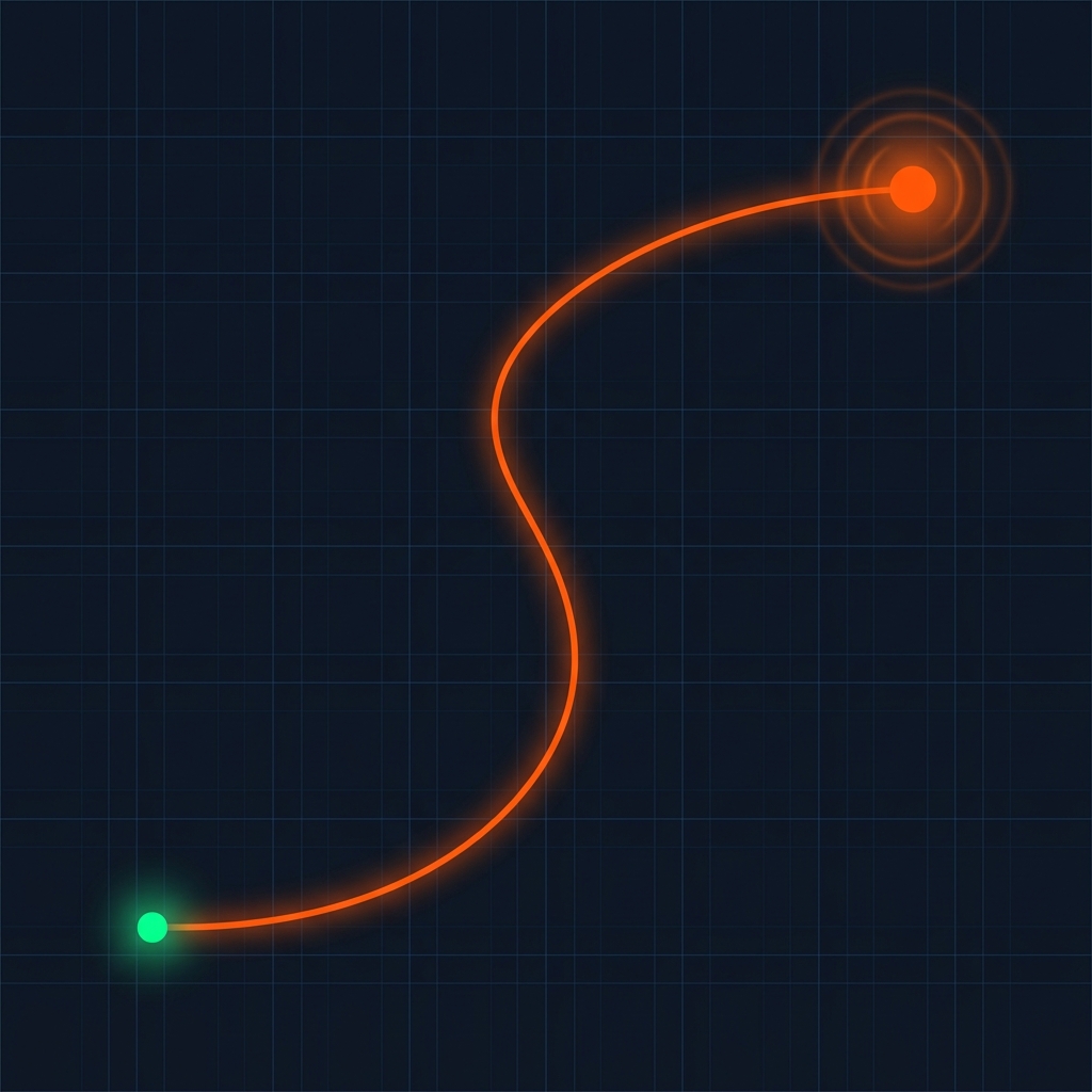
Machine learning algorithms analyze road quality, elevation changes, and rider preferences to generate the perfect path.
Real-time weather overlays and predictive alerts keep you safe from sudden storms and hazardous conditions.
Ride together seamlessly. Share routes instantly and track your group's location and ETAs in real-time.
Download detailed map tiles for remote areas. Never lose your way when you lose cell service.
Export routes to GPX format compatible with Garmin, TomTom, and all major GPS devices.
One-tap emergency contact and automatic incident detection with GPS coordinates.
Group rides have never been easier. Share your route with a unique link, track live locations, and see everyone's ETA in real-time.
Generate instant URLs to share your exact route configuration with anyone.
See your group's exact position and speed on the map in real-time.
AI calculates arrival times based on riding style and current traffic.
Advanced safety features designed to protect you when it matters most.
Automatic warnings when storms, high winds, or ice intersect your route.
One-tap emergency calling with automatic GPS coordinate sharing.
AI monitors accelerometer data to detect accidents and alert emergency services.
Join 50,000+ riders who trust MotoRoute AI for their adventures. Native apps for iOS and Android are on the way—watch this space.